Taraldsviktinden
779 metres of ascent over 4.53 km from the shore at the head of Fiskefjorden — a start at 5 m by the outlet of Dalelva, with the whole mountain above you. The tractor road east of Gårdselva takes you to forest bands of 10.5 to 13.5 degrees, Mølnskaret lets you onto the north ridge — and the ridge carries ice axe and crampons on the gear list: the source gives the ridge section 30 degrees, while the gentlest line along it measures 22.9 at most. KAST 2 by Fri Flyt, and grade 3 on the card.
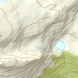
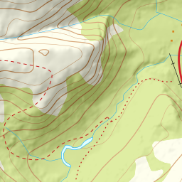
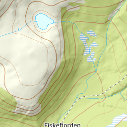
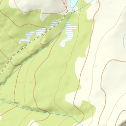
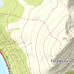
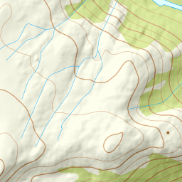
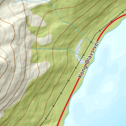
Elevation profile
779 metres of ascent and 4.53 km from Dalelva's outlet in Fiskefjorden along the tractor road, through Mølnskaret at 538 and south along the north ridge — the treeline at 368 m, and the steepest band, 19.0 degrees, between 600 and 700 m.
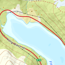
From the big car park at Dalelva's outlet — 5 m, with the E10 crossing the river on Dalelvbrua just beside it — follow the tractor road east of Gårdselva: 56 m where the line takes it, 107 further up. The source says leave the road about 150 metres before the power line crosses; the alternative at Sjøvoll needs the landowner's consent, so use the space by the river.
Route description, descent and avalanche terrain open with a subscription — 14 days free, then 29 kr/month.
Start free trialMore tours in Harstad
- Hattfjellet857 m · Demanding
- Stortussen945 m · Demanding
- Litletussen795 m · Demanding
- Slåttheia694 m · Moderate
- Skjellesvikgalten987 m · Expert
- Nona1009 m · Expert
- Trolltinden918 m · Demanding
- Årbostadtinden1179 m · Expert
- Klåptinden998 m · Demanding
- Toppen759 m · Expert
- Lundenesgalten787 m · Demanding
- Middagstinden på Andørja630 m · Moderate
- Skartinden1149 m · Expert
- Langlitinden1276 m · Expert
- Kråkrøtinden1186 m · Expert
- Ristinden1056 m · Expert
- Snøtinden1215 m · Expert
- Storhornet i Kvæfjord722 m · Easy
- Vetefjellet547 m · Moderate
- Storlitinden613 m · Easy
- Stortinden på Rolla1020 m · Expert
- Rundtinden872 m · Demanding
- Sula848 m · Moderate
- Heia527 m · Easy
- Hinnstein560 m · Demanding
- Lasselitinden896 m · Demanding
- Hemmestadfjellet686 m · Moderate
- Middagstinden i Kvæfjord922 m · Expert
- Nattmålsfjellet546 m · Demanding
- Horntindan911 m · Expert
- Tverrfjellet889 m · Moderate
- Sørvikfjellet607 m · Expert
- Melåaksla916 m · Moderate
- Rundfjellet i Harstad868 m · Moderate
- Jakobstinden976 m · Demanding
- Haukebøtinden905 m · Moderate
- Reinspælen1117 m · Expert
- Sætertinden1095 m · Moderate
- Kongsviktinden980 m · Demanding
- Snøtinden i Tjeldsund980 m · Moderate
- Nonstinden930 m · Expert
- Snøtindan996 m · Expert
- Fiskefjordtindan965 m · Demanding
- Middagsfjellet810 m · Demanding
- Strandtinden1076 m · Demanding
- Jotind979 m · Expert
- Siriskolten659 m · Easy
- Trollfjellet1009 m · Moderate
- Helligtinden948 m · Demanding