Togga
780 metres of ascent and 2.64 km — Togga is one of the shortest ways to a summit in Sogndalsdalen, and that is exactly why the mountain sees so much use: zero approach from the ski-touring car park at Brandhaugane on highway 5, forest skiing and open ground in the same tour, and six descents in Fri Flyt's book. The card carries grade 3, and the reason stands in the source's own warning: on the south-east ridge — the normal route — skiers have triggered avalanches on the way up in unstable conditions. The line measures 27.5 degrees as its steepest sustained stretch; the slope it climbs, Fri Flyt gives 33–35.
Elevation profile
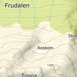
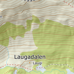
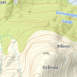
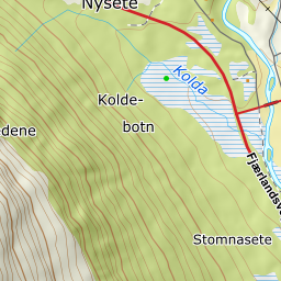
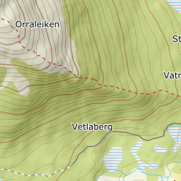
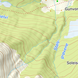
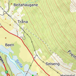
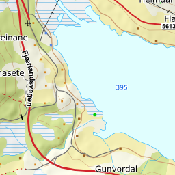
780 metres of ascent and 2.64 km from Brandhaugane — the south-east ridge with its avalanche-prone steep section, Orraleiken, and the cairn at 1204.
Start at the ski-touring car park at Brandhaugane, 427 metres by highway 5 a few kilometres before the ski centre — the register has Brandhaugane as a knoll in the forest right beside it, and Fri Flyt's 785 vertical metres imply exactly this start. Head for the south-east ridge and follow it up through the forest; the line passes 542 metres in forest, which by Kartverket's classes ends at 765.
Route description, descent and avalanche terrain open with a subscription — 14 days free, then 29 kr/month.
Start free trialMore tours in Sogn
- Steindalsnosi2025 m · Easy
- Fanaråken2068 m · Moderate
- Molden1120 m · Easy