Tomskjevelen
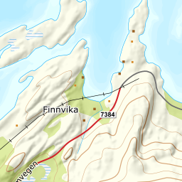
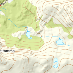
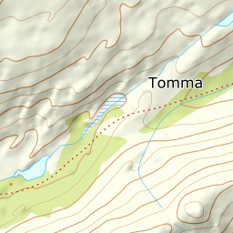
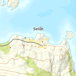
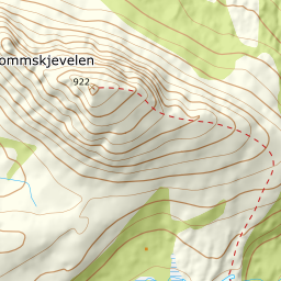
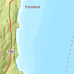
951 metres of ascent and 3.86 km from the field at Forsland — on an island. Tomskjevelen stands in the middle of the sea on Tomma, with the ferry from Nesna as the only way to the start, and Fri Flyt writes that 'many consider Tomskjevelen one of the very finest peaks on the whole Helgeland coast'. The register spells it Tommskjevelen and keeps its point on the west knoll at 756 metres; the top itself — 922 — lies 330 m east, and that is where the line goes. The track is kind — steepest 100-metre band 21.8 degrees between 800 and 900 metres, steepest sustained stretch 27.9 — but the mountain around it is not, and the season is unstable with varying snow conditions, as the source itself says.
Elevation profile
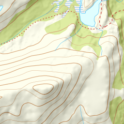
951 metres of ascent and 3.86 km from Forsland on Tomma — around Forslandsvatnet on land, and the north-west ridge to the horn at 922.
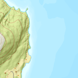
Take the ferry from Nesna to Tomma and drive towards Forsland; Forslandsvegen ends at the farm, and you park at the field before Forslandsvatnet, as the source says — the field by the path start reads 47 metres. Check the timetable both ways: the ferry is part of the tour.
Route description, descent and avalanche terrain open with a subscription — 14 days free, then 29 kr/month.
Start free trialMore tours in Helgeland
- Tortenviktinden1028 m · Moderate
- Lukttinden1348 m · Moderate