Torskmannen
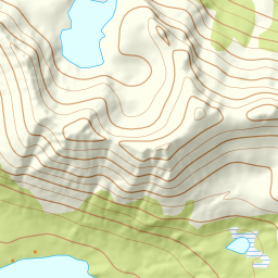
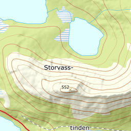
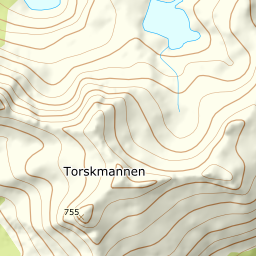
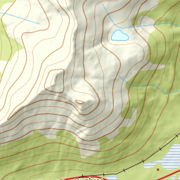
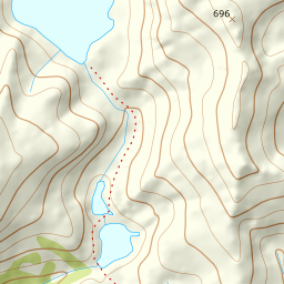
754 metres of ascent over 3.00 km from the Kvitfossen power station in Vestpollen — a local favourite where the snow often lies sheltered in the valley when everywhere else is wind-hammered. Fri Flyt rates it KAST 2 – Challenging with a steepest point of 35 degrees; the line up the valley and out through the col right of the summit measures 21.6 degrees in its steepest 100 m band and 28.1 in its steepest sustained stretch, which is the last metres to the cairn. The top is often wind-scoured and hard.
Elevation profile
754 metres of ascent and 3.00 km from Kvitfossen up the valley and the col right of the summit, with the treeline at 262 m and the steepest ground — 28.1 degrees between 721 and 745 m — on the ridge to the cairn.
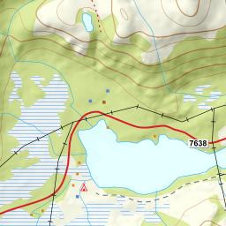
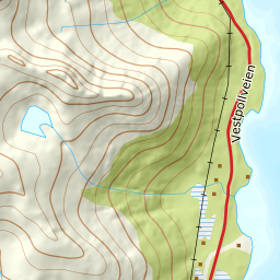
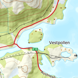
From the power station on the E10 — OSM maps Kvitfossen kraftverk on Midnattsolveien, with a bus stop by the road, and the fjord reads 5 m. You aim northwest toward the summit and cross the moor to the valley floor: the band from 0 to 100 m measures 5.5 degrees over the first kilometre, and the forest ends at 262 m after 1.54 km.
Route description, descent and avalanche terrain open with a subscription — 14 days free, then 29 kr/month.
Start free trialMore tours in Lofoten
- Pilan826 m · Demanding
- Geitgaljen1085 m · Expert
- Rundfjellet803 m · Moderate
- Kleppstadheia534 m · Easy
- Varden (Småtindan)700 m · Moderate
- Himmeltindan956 m · Demanding
- Justadtinden736 m · Moderate
- Stornappstinden740 m · Moderate