Tortenviktinden
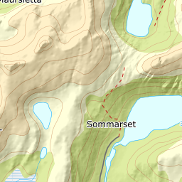
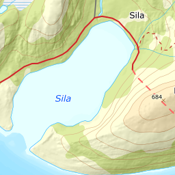
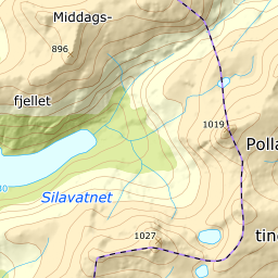
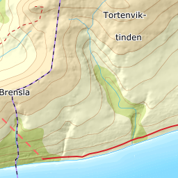
1023 metres of ascent over 5.57 km from Neset by Flostrand to Tortenviktinden — from sea level to a thousand metres in a single line, with the whole Helgeland coast below. The tour is long rather than steep: the steepest hundred-metre band measures 18.6 degrees between 900 and 1000 m, and the steepest sustained stretch 23.7. It is the length and the unstable coastal season that decide the day.
Elevation profile
1023 metres of ascent over 5.57 km from Neset, with the steepest ground — 23.7 degrees between 971 and 994 m — in the final rise, barely 200 metres before the cairn.
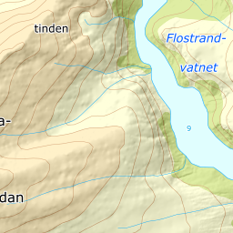
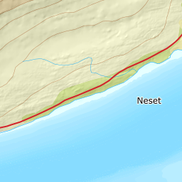
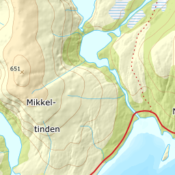
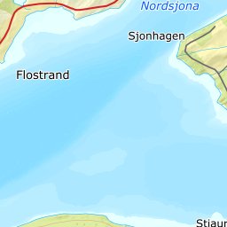
From the farm Neset by Flostrand, 15 m, on the E12 coastal road. The register places Tortenviktinden in Lurøy while the approach from Flostrand lies in Rana — the mountain and the trailhead are in different municipalities. Visit Helgeland carries the same route at 5.2 km and 1,025 metres of ascent one way; the line measures 5.57 km and 1,023.
Route description, descent and avalanche terrain open with a subscription — 14 days free, then 29 kr/month.
Start free trialMore tours in Helgeland
- Tomskjevelen922 m · Moderate
- Lukttinden1348 m · Moderate