Torvløysa
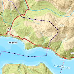
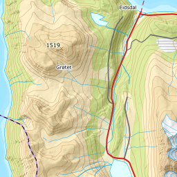
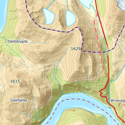
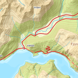
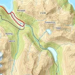
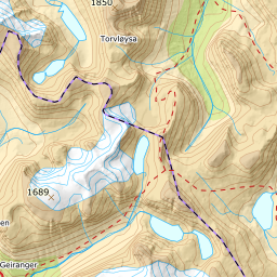
1469 metres of climbing over 11.13 km from Hatlestad — one of the longest tours above Norddal, and one of the gentlest. The steepest sustained section measures 27.2 degrees, and five kilometres of the route lie on the ridge from Daurmålsfjellet to the summit.
Elevation profile
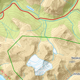
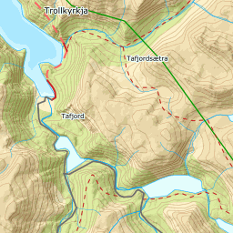
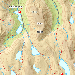
1469 metres of climbing and 11.13 km from Hatlestad over Rellingsætra and Daurmålsfjellet, with the treeline at 803 m and the ridge from 1186 m to the cairn.
Start at the mapped car park at Hatlestad, 453 m, above Norddalen. Fri Flyt says you park at 350 m; the terrain model reads the farms at 412 and the car park at 453, and that difference is why this tour measures 1469 metres of climbing and not 1500.
Route description, descent and avalanche terrain open with a subscription — 14 days free, then 29 kr/month.
Start free trialMore tours in Sunnmøre
- Auskjeret1203 m · Moderate
- Jønshornet1417 m · Expert
- Ytstevasshornet1331 m · Demanding
- Råna1587 m · Demanding
- Kolåstinden1432 m · Demanding
- Vassdalstinden1278 m · Demanding
- Saudehornet1303 m · Demanding
- Slogen1564 m · Expert
- Skårene1830 m · Demanding
- Melshornet809 m · Easy
- Jakta1589 m · Demanding
- Skårasalen1542 m · Demanding
- Kvitegga1700 m · Demanding
- Hornindalsrokken1527 m · Expert
- Sunndalsnipa1395 m · Moderate
- Eidskyrkja1482 m · Demanding