Tromsdalstinden
Tromsø's signature peak, and 1209 vertical metres in one push from the shooting range in Tromsdalen to the summit cairn. The track stays under 27 degrees the whole way — it is the length, not the steepness, that makes the day.
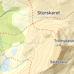
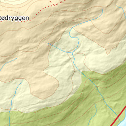
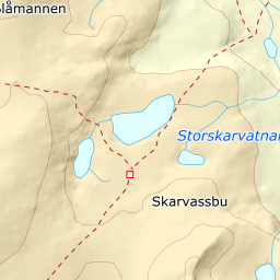
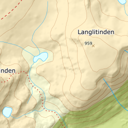
Elevation profile
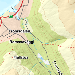
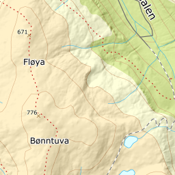
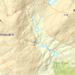
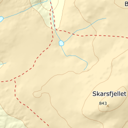
8.2 km and 1209 vertical metres: forest road to Dalbotnvatnet, the slope up to Salen, the south ridge to the cairn.
From the parking at the shooting range at the end of Turistvegen, follow the forest road southeast into Tromsdalen. Stay on the west side of Tromsdalselva the whole way; the birch lets go already around 220 m, and from there the valley lies open in front of you. Sommerruta takes the NNW ridge out of the valley lower down — that is the walking route, not the ski route.
Route description, descent and avalanche terrain open with a subscription — 14 days free, then 29 kr/month.
Start free trialMore tours in Troms
- Store Skalltinden901 m · Demanding
- Store Blåmann1044 m · Demanding
- Kjølen790 m · Easy
- Rødtinden470 m · Easy
- Storfjellet1088 m · Demanding
- Skarlitinden858 m · Moderate
- Gabrielfjellet1214 m · Demanding
- Hamperokken1397 m · Expert
- Fagerfjellet957 m · Moderate
- Vestre Istinden1489 m · Demanding