Tverrfjellet
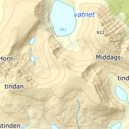
885 metres of ascent over 5.53 km from the fjord at Melåa to a mountain the register has no name for: Tverrfjellet is the source's and the neighbourhood's name — Tverrfjellelva drains it and Tverrelvfoten stands beneath it — and the summit reads 888.9 against the book's 899. No hundred-metre band measures more than 14.0 degrees, the steepest single stretch is 23.9, and the line gives back eight metres on the whole tour. KAST 1, south-facing — simple but fun skiing, exactly as the source says.
Elevation profile
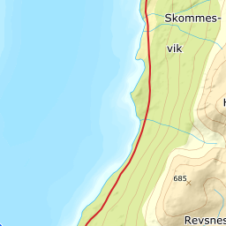
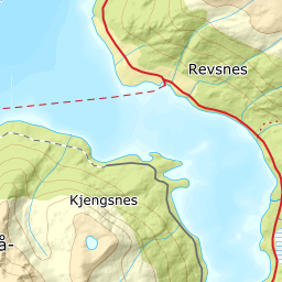
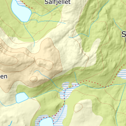
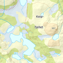
885 metres of ascent and 5.53 km from Melåa along the tractor road, across the moors at the power line and west of Tverrelvfoten — the treeline at 419 m, and the steepest ground, 23.9 degrees between 242 and 262 m, in the forest hillside.
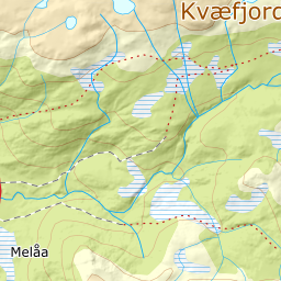
From the bays along Austerfjordveien at Melåa — 12 m; the source's F104 is today's fv. 7784 — follow the tractor road on the north side of Melåelva: 23 m where the line stands in it, and the power line is crossed on the moors at 171. The band from 0 to 100 measures 4.7 degrees over the first kilometre and a bit.
Route description, descent and avalanche terrain open with a subscription — 14 days free, then 29 kr/month.
Start free trialMore tours in Harstad
- Hattfjellet857 m · Demanding
- Stortussen945 m · Demanding
- Litletussen795 m · Demanding
- Slåttheia694 m · Moderate
- Skjellesvikgalten987 m · Expert
- Nona1009 m · Expert
- Trolltinden918 m · Demanding
- Årbostadtinden1179 m · Expert
- Klåptinden998 m · Demanding
- Toppen759 m · Expert
- Lundenesgalten787 m · Demanding
- Middagstinden på Andørja630 m · Moderate
- Skartinden1149 m · Expert
- Langlitinden1276 m · Expert
- Kråkrøtinden1186 m · Expert
- Ristinden1056 m · Expert
- Snøtinden1215 m · Expert
- Storhornet i Kvæfjord722 m · Easy
- Vetefjellet547 m · Moderate
- Storlitinden613 m · Easy
- Stortinden på Rolla1020 m · Expert
- Rundtinden872 m · Demanding
- Sula848 m · Moderate
- Heia527 m · Easy
- Hinnstein560 m · Demanding
- Lasselitinden896 m · Demanding
- Hemmestadfjellet686 m · Moderate
- Middagstinden i Kvæfjord922 m · Expert
- Nattmålsfjellet546 m · Demanding
- Horntindan911 m · Expert
- Sørvikfjellet607 m · Expert
- Melåaksla916 m · Moderate
- Rundfjellet i Harstad868 m · Moderate
- Jakobstinden976 m · Demanding
- Haukebøtinden905 m · Moderate
- Reinspælen1117 m · Expert
- Sætertinden1095 m · Moderate
- Kongsviktinden980 m · Demanding
- Snøtinden i Tjeldsund980 m · Moderate
- Taraldsviktinden776 m · Demanding
- Nonstinden930 m · Expert
- Snøtindan996 m · Expert
- Fiskefjordtindan965 m · Demanding
- Middagsfjellet810 m · Demanding
- Strandtinden1076 m · Demanding
- Jotind979 m · Expert
- Siriskolten659 m · Easy
- Trollfjellet1009 m · Moderate
- Helligtinden948 m · Demanding