Ulvsjøberget
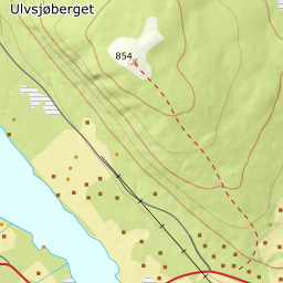
295 metres of climbing and 2.17 km from Vestby to the summit at 854 m — the highest top in Trysil with a published route description that stays out of the ski resort. The steepest hundred-metre band is 12.3 degrees from 500 to 600 m over 193 metres of ground, and the steepest step 18.6 degrees between 582 and 597. Nearly all of the climb is in forest.
Elevation profile
295 metres of climbing and 2.14 km from Vestby up the hillside to 676 m and through the forest to 801, with the forest letting go only at 826 m.
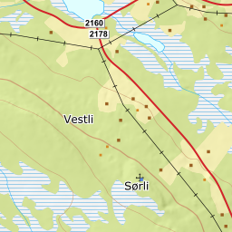
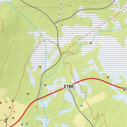
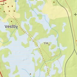
Start in Vestby, 559 m, right by the mission house. Ut.no gives 558 for the same point. The road in is county road 2160 from Trysil centre — ut.no writes fv 563, the old number — 17 km and twenty minutes' driving, and the parking is signed.
Route description, descent and avalanche terrain open with a subscription — 14 days free, then 29 kr/month.
Start free trial