Ustetind
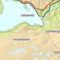
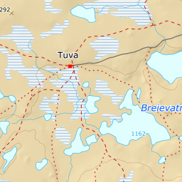
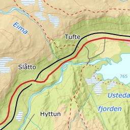
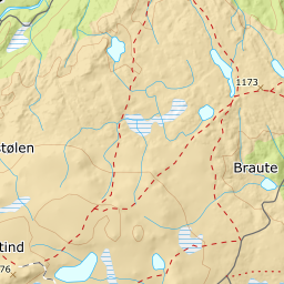
416 metres of climbing and 4.38 km from Ustaoset to the big cairn at 1376 m. Nothing on the route is steep: the steepest hundred-metre band is 9.7 degrees from 1100 to 1200 m over 614 metres of ground, and the steepest sustained step 18.5 degrees between 1343 and 1355. The whole tour sits on the north-east edge of Hardangervidda, and it is the weather, not the angle, that decides the day.
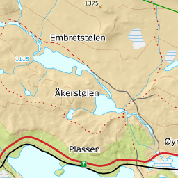
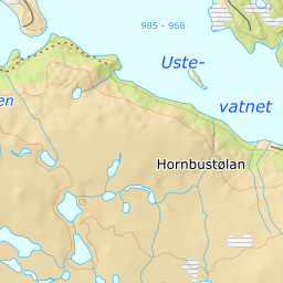
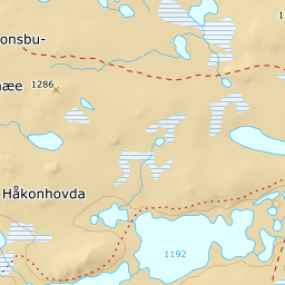
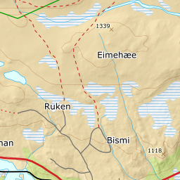
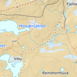
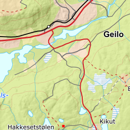
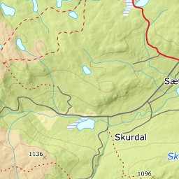
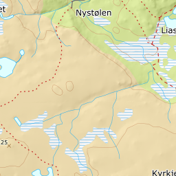
Elevation profile
416 metres of climbing and 4.38 km from Ustaoset west of Måfådalen at 1104 m and past Tindevatnet at 1317, with the forest letting go at 1084 m.
Start at the car park at Ustaoset, 989 m. Ut.no draws its tour from a point 320 metres further north, up in the cabin field at 1005 m; the plot mapped in OSM sits down by the road, and that is the one the corridor uses. The rv 7 past Ustaoset is open all winter, and trains stop 692 metres to the north-west.
Route description, descent and avalanche terrain open with a subscription — 14 days free, then 29 kr/month.
Start free trialMore tours in Geilo
- Prestholtskarvet1860 m · Demanding