Vassfjellet
560 metres of climbing and 4.92 km from Markavollen to the cairn at 711 m — the closest ski tour to Trondheim. The steep ground sits together between 500 and 700 m: 11.5 degrees from 500 to 600 and 12.3 from 600 to 700, which is the steepest hundred-metre band. The steepest sustained step is 23.0 degrees between 251 and 270 m, and that is also the steepest the whole line measures.
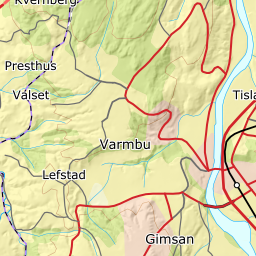
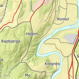
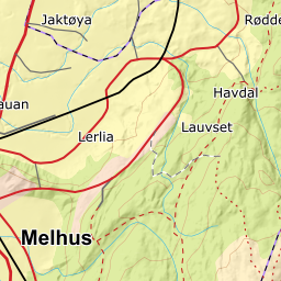
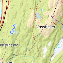
Elevation profile
541 metres of climbing and 4.74 km from Markavollen past Vassfjellhytta at 507 m, with the forest letting go at 586 and open ground from 594 m.
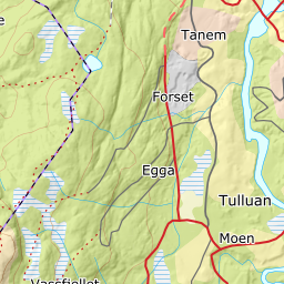
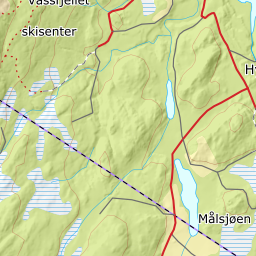
Start at the car park at Markavollen, 184 m. Ut.no states a parking charge, and the terrain model reads the plot at 184 m — exactly the starting height the description gives. Ut.no sends you along the ski tracks «marked S, then Ø and S again»; the line on the map is the terrain line through that same network of tracks, not the track itself — 2205 of 4744 metres lie more than 50 metres from a mapped trail, with the largest gap 175 metres. The first half is flat for a summit tour: the band from 300 to 400 m measures 5.2 degrees over 1036 metres of ground, and 400 to 500 m 3.2 degrees over 1710.
Route description, descent and avalanche terrain open with a subscription — 14 days free, then 29 kr/month.
Start free trialMore tours in Trøndelag
- Kråkfjellet815 m · Moderate
- Rensfjellet942 m · Moderate