Vatnaknausen
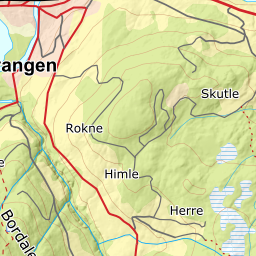
980 metres of ascent and 7.48 km from Tverrberg, and nearly half of it on a road: the toll road from Selheim ends at the car park at 383 metres, and the road chain on into Budalen carries you past Øvraset to Nyestølen at 707 before the mountain takes over. The numbers on the line itself are kind — steepest 100-metre band 13.9 degrees between 700 and 800 metres, steepest sustained stretch 21.9 — but Fri Flyt rates it KAST 2 – challenging, and that is about route-finding in the broken ground above the treeline, not about any single steep slope. From the cairn: the panorama over Voss the tour is sold on.
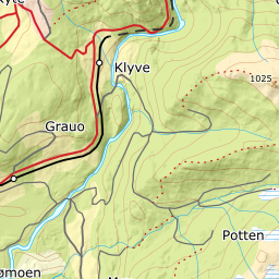
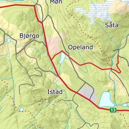
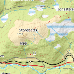
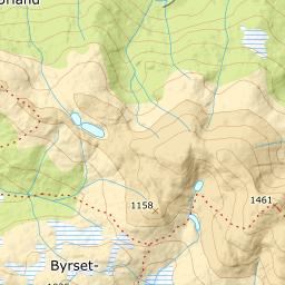
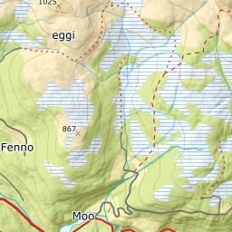
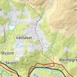
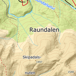
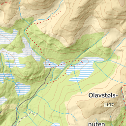
Elevation profile
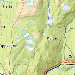
980 metres of ascent and 7.48 km from Tverrberg — road into Budalen to Nyestølen, the ridge west of the Rjupetjørnane tarns, and 21.9 degrees as the steepest sustained stretch.
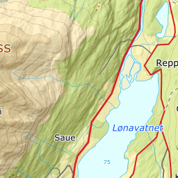
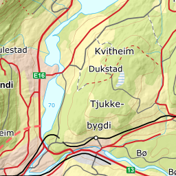
Follow the road to Selheim farm, pay the toll and crawl steeply up to Tverrberg 'or to a suitable stopping place near the snow line', as the source puts it — the mapped car park reads 383 metres, but the snow line decides where the tour actually begins, and a lower start adds vertical metres. On foot from there: Tverrbergsvegen continues south to the junction at 475 metres, where the Øvraset road branches east.
Route description, descent and avalanche terrain open with a subscription — 14 days free, then 29 kr/month.
Start free trialMore tours in Voss
- Finnbufjellet1357 m · Moderate
- Storanosi1205 m · Moderate
- Lønahorgi1412 m · Moderate
- Horndalsnuten1462 m · Demanding