Vesoldo
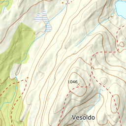
838 metres of climbing from Byrkjenes, and a tour that gets gentler the higher you go: steep forested slope at the bottom, open even ridge above. The summit dome is easy walking — but it sits a couple of hundred metres above the cliffs to the west and north-west, and half a kilometre above those to the north, and in flat light the edge is invisible.
Elevation profile
838 metres of climbing and 4.25 km from Byrkjenes, with the steepest ground — 16.5 degrees between 300 and 400 m — down in the forest.
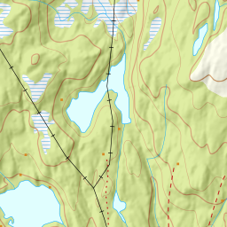
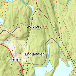
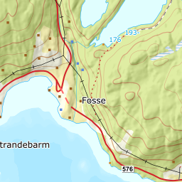
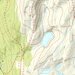
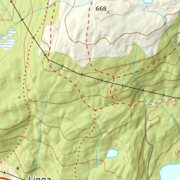
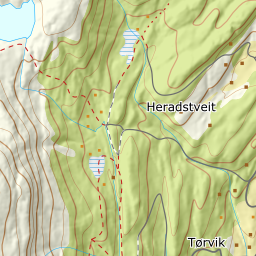
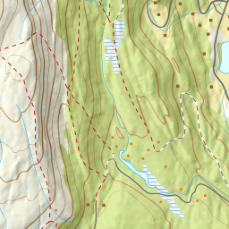
From the car park at Byrkjenes, 211 m, at the far end of Tordalsvegen north of Strandebarm, climb the steep forested slope towards Fadnastølen, 498 m. This is the steepest part of the tour: the steepest hundred-metre band lies between 300 and 400 m and averages 16.5 degrees. Tordalsvegen is a private toll road, and ploughing all the way to the car park is not guaranteed — check before you drive far.
Route description, descent and avalanche terrain open with a subscription — 14 days free, then 29 kr/month.
Start free trialMore tours in Hardanger
- Oksen1241 m · Moderate
- Gygrastolen1347 m · Demanding
- Juklavasstinden1361 m · Demanding
- Melderskin1426 m · Demanding
- Englafjell1200 m · Demanding