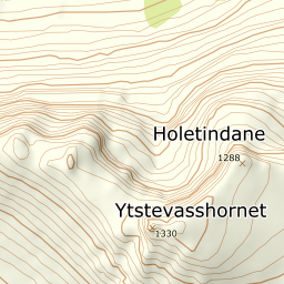
Ytstevasshornet
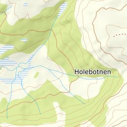
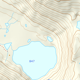
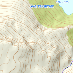
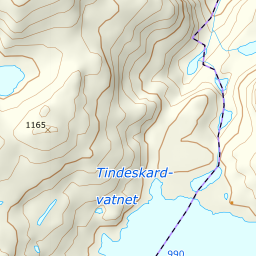
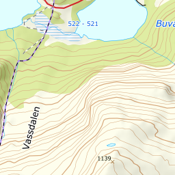
816 metres of climbing over 3.79 km from Svartevatnet, steeply up Vassdalen past the tarns at 976 m and then north-west onto a narrow summit ridge. The steepest sustained section measures 25.0 degrees, and the last stretch is usually walked without skis.
Elevation profile
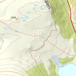
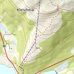
816 metres of climbing and 3.79 km from Svartevatnet along the east shore and up Vassdalen past the tarns at 976 m, with the forest letting go at 691.
Start at the car park by Svartevatnet, 538 m, on the main road between Sykkylven and Stranda. The first 904 metres of ground are flat — 4.3 degrees — and they run along the east shore, not across the water. Svartevatnet is a reservoir: the surface measures 526 m, twelve metres below the car park, and the line stays on land the whole way round the north end and down to the south end at 524.
Route description, descent and avalanche terrain open with a subscription — 14 days free, then 29 kr/month.
Start free trialMore tours in Sunnmøre
- Auskjeret1203 m · Moderate
- Jønshornet1417 m · Expert
- Råna1587 m · Demanding
- Kolåstinden1432 m · Demanding
- Vassdalstinden1278 m · Demanding
- Saudehornet1303 m · Demanding
- Slogen1564 m · Expert
- Torvløysa1851 m · Moderate
- Skårene1830 m · Demanding
- Melshornet809 m · Easy
- Jakta1589 m · Demanding
- Skårasalen1542 m · Demanding
- Kvitegga1700 m · Demanding
- Hornindalsrokken1527 m · Expert
- Sunndalsnipa1395 m · Moderate
- Eidskyrkja1482 m · Demanding