Såta
895 metres of ascent over 6.6 km from the innermost car park at Eikedalen ski centre to a summit the register carries under two names: Såta and Iendefjell. It is two tours in one — a nearly flat approach into Skeiskvanndalen, where the band from 500 to 600 m measures 1.8 degrees on average over 3.15 km of ground, and then the mountain itself: from Rosselandsbotnen the flank rears up eastward, with the steepest hundred-metre band at 18.4 degrees between 1100 and 1200 m and the steepest sustained stretch at 32.5 degrees between 1139 and 1168 m, directly below the notch.
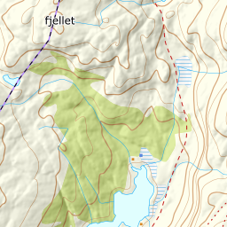
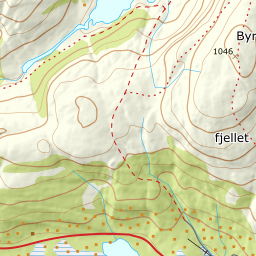
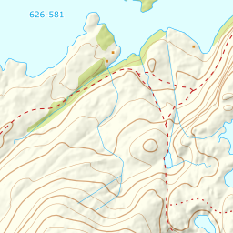
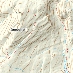
Elevation profile
895 metres of ascent over 6.6 km from Eikedalen, with the steepest ground — 32.5 degrees between 1139 and 1168 m — directly below the notch north of the summit.
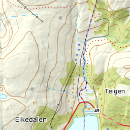
From the innermost car park at Eikedalen ski centre, 459 m, on Kråvegen. Fri Flyt sends you up a summer farm road for the first hundred metres of height, and that is Kråvegen eastward and the path beyond it: the line follows the mapped road and path to about 555 m, where the valley levels out.
Route description, descent and avalanche terrain open with a subscription — 14 days free, then 29 kr/month.
Start free trialMore tours in Kvamskogen
- Skrott1320 m · Demanding
- Tveitakvitingen1299 m · Demanding